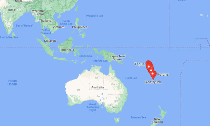
A magnitude 6.8 earthquake struck the Vanuatu region, an island nation in the South Pacific Ocean, the United States Geological Survey (USGS) said on Saturday.
quake had a depth of 301 miles (485 km), the USGS said in a statement. Officials said there was no danger of a tsunami.
re were no immediate reports of any injuries or damages from the earthquake.
Last weekend, a powerful 7.3 quake struck near the same region also on Saturday.
earthquake was upgraded from a preliminary magnitude of 6.7 and struck the island nation at a depth of 347 miles (560 km), the USGS said.
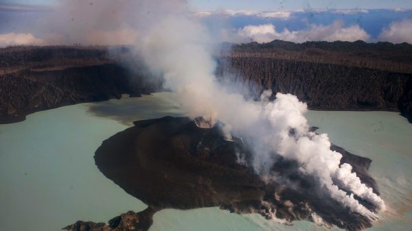
Besides earthquakes, natural hazards such as cyclones, volcanic eruptions, floods, tsunamis, droughts, and sea-level rises are common in Vanuatu, the United Nations Office for the Coordination of Humanitarian Affairs said.
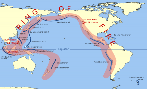
island nation, which is made up of a chain of 13 principal and many smaller islands extending 528 miles (850 km) from north to south, is also located on the Pacific “Ring of Fire,” a region prone to earthquakes and volcanic activity.
Vanuatu has about 286,000 residents and most of the population lives along the coast of the eight largest islands. country is located in the South Pacific Ocean—some 1,700 miles from Australia and 350 miles northeast of Papua New Guinea.
re are several active volcanoes in Vanuatu, and there is an ever-present danger of a major eruption.
Pacific “Ring of Fire,” meanwhile is in the basin of the Pacific Ocean with some 450 volcanoes. About 90 percent of the world’s earthquakes strike along the Ring of Fire.
From NTD News
Pezou : Notable 6.8 Earthquake Strikes Vanuatu Region: USGS